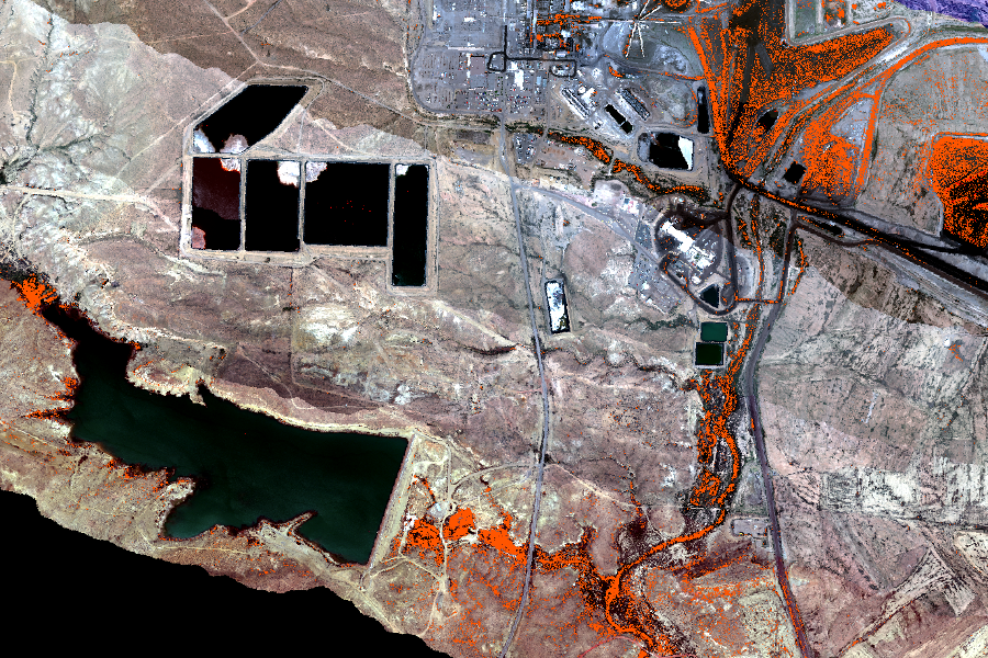
Coal and Open-pit surface mining impacts on American Lands (COAL)
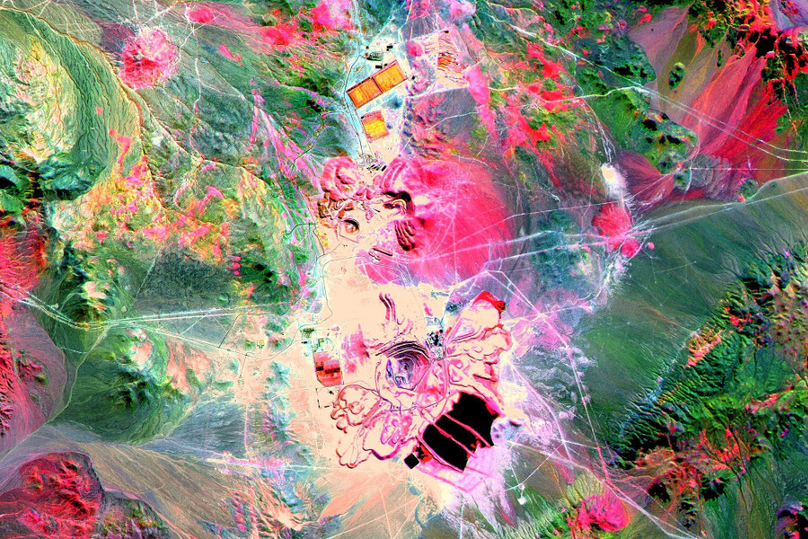
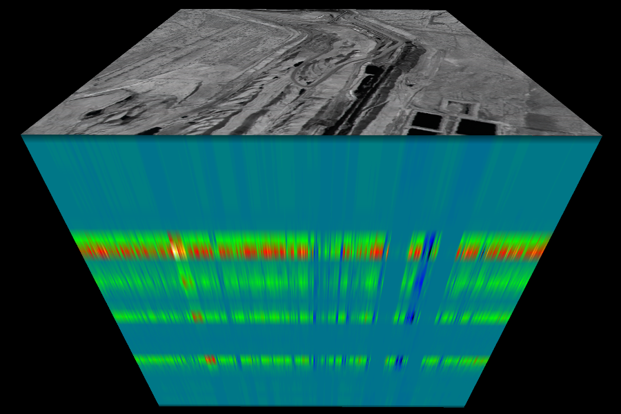
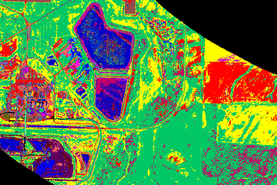
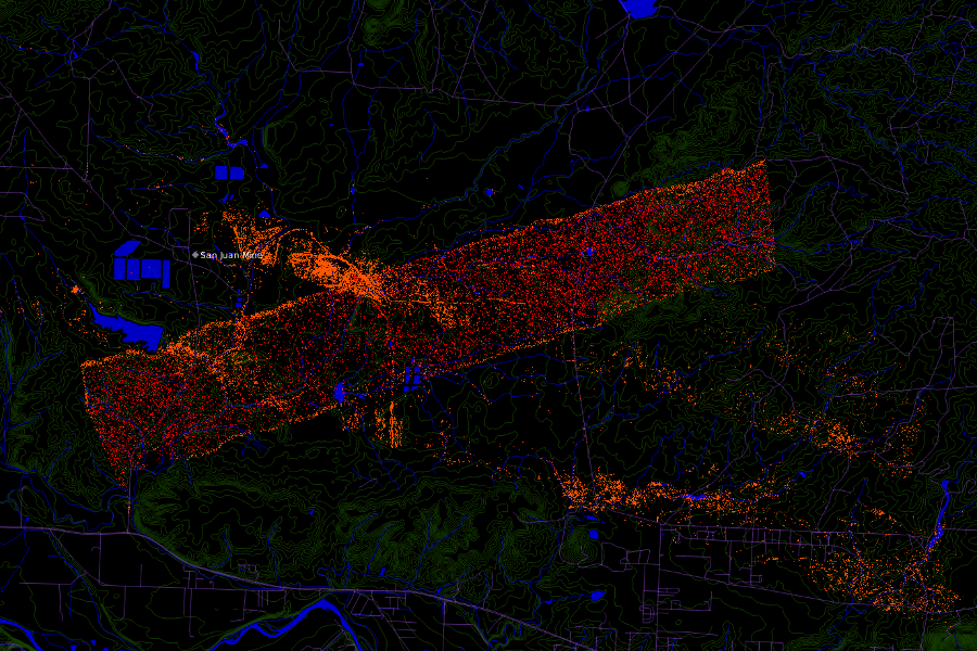
COAL is a Python library for processing hyperspectral imagery from remote sensing devices such as the Airborne Visible/InfraRed Imaging Spectrometer (AVIRIS). COAL provides a suite of algorithms for classifying land cover, identifying mines and other geographic features, and correlating them with environmental data sets. COAL is Free and Open Source Software with the pycoal library licensed under the GNU GPLv2.0.
Docs
Read the documentation to learn how to install and use the Python COAL package pycoal.
For more information:
- Browse the API reference for detailed class and method documentation,
- Visit our GitHub Organization for the source code and issue tracker, or
- View development documentation on our wiki.
Blog
Our most recent posts:
- COAL Presented at AGU Fall Meeting 2017
- COAL featured at 2017 HyspIRI Science and Applications Workshop
- COAL Follow-On (COAL-FO) Project Accepted
- Final Report and GIS Bundle
- COAL Recognized by OSU EECS News
View all of our posts on our blog.
Team
COAL was originally developed as a 2016 – 2017 a Oregon State University (OSU) senior capstone project.
COAL development continued as a 2017 – 2018 senior capstone collaboration and community Free and Open Source Software project.
Read about our team to contact us or learn more.
