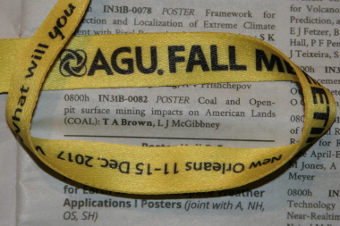
COAL Presented at AGU Fall Meeting 2017
Posted 2018-01-20 by Taylor Alexander Brown
This post describes the COAL presentation at the 2017 AGU Fall Meeting scientific conference in New Orleans.

Abstract
The COAL poster abstract was accepted into the IN31B: Exploiting Big Earth Data: GIS and Beyond poster session of the Earth and Space Science Informatics meeting section.
Mining is known to cause environmental degradation, but software tools to identify its impacts are lacking. However, remote sensing, spectral reflectance, and geographic data are readily available, and high-performance cloud computing resources exist for scientific research. Coal and Open-pit surface mining impacts on American Lands (COAL) provides a suite of algorithms and documentation to leverage these data and resources to identify evidence of mining and correlate it with environmental impacts over time.
COAL was originally developed as a 2016 – 2017 senior capstone collaboration between scientists at the NASA Jet Propulsion Laboratory (JPL) and computer science students at Oregon State University (OSU). The COAL team implemented a free and open-source software library called "pycoal" in the Python programming language which facilitated a case study of the effects of coal mining on water resources. Evidence of acid mine drainage associated with an open-pit coal mine in New Mexico was derived by correlating imaging spectrometer data from the JPL Airborne Visible/InfraRed Imaging Spectrometer – Next Generation (AVIRIS-NG), spectral reflectance data published by the USGS Spectroscopy Laboratory in the USGS Digital Spectral Library 06, and GIS hydrography data published by the USGS National Geospatial Program in The National Map. This case study indicated that the spectral and geospatial algorithms developed by COAL can be used successfully to analyze the environmental impacts of mining activities.
Continued development of COAL has been promoted by a Startup allocation award of high-performance computing resources from the Extreme Science and Engineering Discovery Environment (XSEDE). These resources allow the team to undertake further benchmarking, evaluation, and experimentation using multiple XSEDE resources. The opportunity to use computational infrastructure of this caliber will further enable the development of a science gateway to continue foundational COAL research.
This work documents the original design and development of COAL and provides insight into continuing research efforts which have potential applications beyond the project to environmental data science and other fields.
Presentation
COAL was presented at the Fall Meeting on Wednesday morning (2017-12-13 08:00-12:20) at the Ernest N. Morial Convention Center in New Orleans, Louisiana. The COAL poster was well-received, and many gainful conversations were shared with international scientists, regulators, and industry representatives with stakes in remote sensing and environmental monitoring. Valuable feedback and insight was provided by experienced geoscience researchers and developers. The opportunity to showcase COAL research, to take in the diversity of science on display, and to savor New Orleans culture and cuisine made this a very worthwhile experience.
Poster
The COAL conference poster was drafted as a formal conclusion of the first stage of research and development. The large format made it possible to feature a high-quality print of the mine classification imagery from the initial case study which shows off small details and their geographical context. Additional figures enhanced interpretation, provided unique visualizations, and highlighted COAL data products. The accompanying text described the context, methodology, conclusions, acknowledgements, and references of COAL research and development. Preview the poster below, view the source and release on GitHub, or access the publication on Zenodo.
